The maps in the Grace Schmidt Room range in date from the early 1800s to the early 2000s, and vary from fragile original copies to microfiche. The map collection includes street maps, fire insurance maps, and aerial photographs.
The map collection is not available on Sundays.
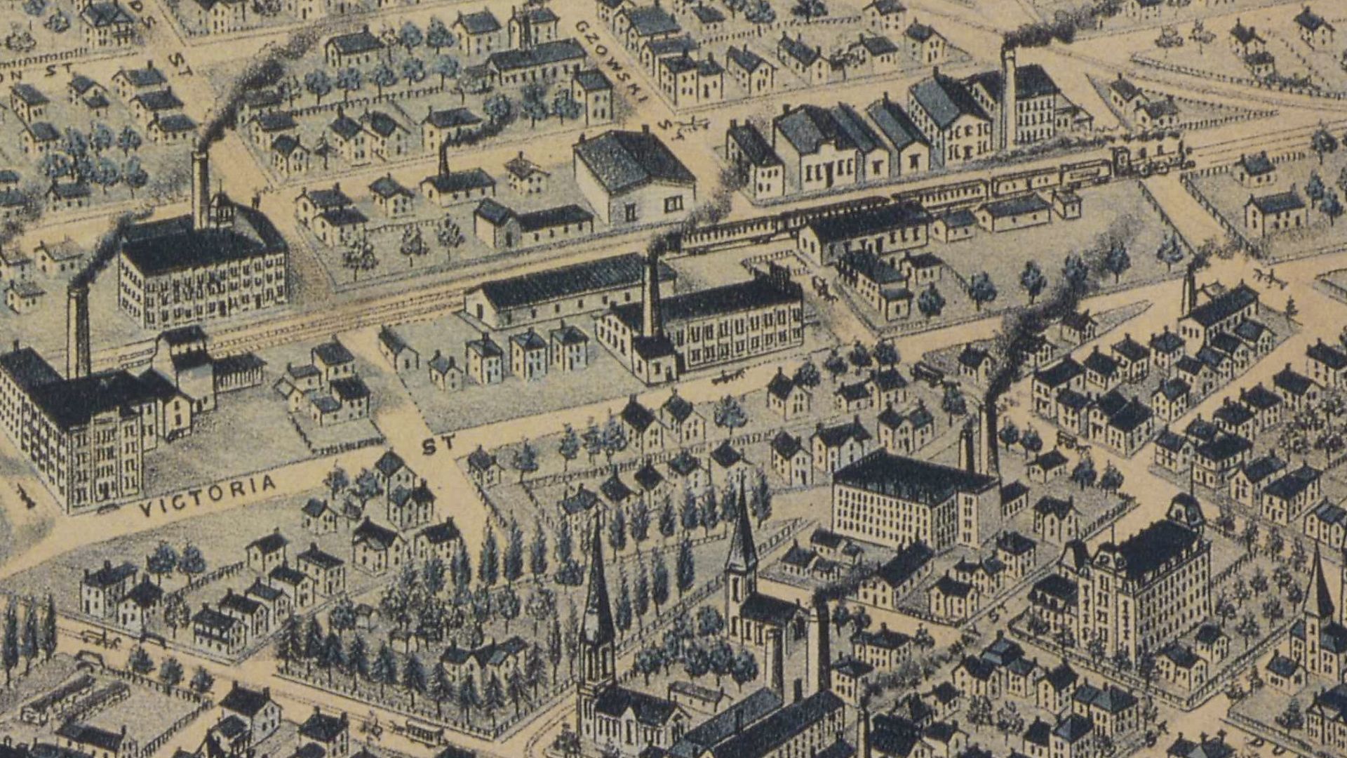
Street maps
You may view a street map by asking library staff to retrieve one for you. Please provide the year of the map and map number. This information can be found in the map lists below.
Maps listed by decade (PDF)
Maps listed by subject (PDF)
Maps listed by decade and subject (PDF)
Kitchener street name index
Street names have changed over the years. To assist researchers, library staff members have created a street map index which lists current and former names of many streets in Kitchener.
Kitchener street name index (PDF)
Fire insurance maps
Fire insurance maps were produced in Canada between 1876 and 1973. They were used by insurance companies to determine the risk of insuring homes and businesses. The maps show the layout of streets and buildings in great detail, including the location, size and shape of the building, as well as the construction details.
These maps often have two dates, an original date and a revision date. To view a fire insurance map, please provide library staff with the location you would like to view.
Location
|
Year
|
Format
|
| Ayr |
1884 revised 1904 |
Microfiche |
| Baden |
1884 revised 1904 |
Microfiche |
| Berlin |
1894 revised 1904 (M449) |
Map |
| Elmira |
1894 revised 1904, 1923 |
Microfiche |
| Galt |
1929 |
Microfiche |
| Hespeler |
1885, 1910, 1947 |
Microfiche |
| Kitchener |
1908 revised 1925 |
Bound volume |
| Kitchener |
1908 revised 1947 |
Microfiche |
| Linwood |
1900 |
Microfiche |
| Preston |
1910 revised 1917, 1910 revised 1924 |
Microfiche |
| St. Jacobs |
1904 |
Microfiche |
| Waterloo |
1908 revised 1913, 1920 revised 1946 |
Microfiche |
| Waterloo |
1920 revised 1946 |
Bound volume |
| Wellesley |
1890 revised 1908 |
Microfiche |
To learn more about fire insurance maps, please see:
Catalogue of Canadian Fire Insurance Plans, 1875 – 1975 (PDF)
by Lorraine Dubreuil
MGSR 016.368110223 Dubre
Fire insurance maps cannot be copied under any circumstances.
Aerial photographs
The Grace Schmidt Room has a series of aerial photographs that were purchased from the Region of Waterloo. Aerial photographs were taken every five years.
Library staff will retrieve aerial photographs upon request. You must provide the year of the set you would like view.
Year
|
Description
|
| 1975 |
Partial set (Kitchener and Waterloo Only) |
| 1980 |
Partial set (Kitchener and Waterloo Only) |
| 1985 |
Partial set (Kitchener and Waterloo Only) |
| 1990 |
Full Set (Region of Waterloo) |
| 1995 |
Full Set (Region of Waterloo) |
| 2000 |
Full Set (Region of Waterloo) |
| 2006 |
Full Set (Region of Waterloo) |
The aerial photograph collection is not available on Sundays.